Thinking-Drinking
  • Blog
  • Erin
  • Index
  • Articles
  • News
  • Contact

Beer Taxonomy. Part 2 of 5- Base Grains and Mash Additions

1/16/2012

3 Comments

 
Beer taxonomy could use a revamp; several ideas have been put forth, but none have really caught on or made a big dent in the beer world, especially on the consumer side of things. This series of entries about beer taxonomy deconstructs the issues with beer taxonomy, and the last post in the series proposes a new paradigm. 

Part 1 of 5- Deconstructing "Lager" and "Ale"

This is Part 2 of 5- Base Grains and Mash Additions

It's baffling to me how, in an age when people are increasingly obsessed with what ingredients are in their food, the ingredients in beer are of little interest to most consumers. These ingredients, and the quality of them, not only inform the taste of the beer and therefore the experience of the drinker, but they also are an important historical marker-- the grains & additions used can be traced back through the millenia, and their domestication signaled the transition from nomadic society to agricultural society. Stocks of cereal grains and beer making cakes empowered early civilizations, nourished our distant ancestors and provided them with a safe conduit for imbibing water, prevented famine, sparked wars, inspired early philosophy and paleolithic art, and informed on a very basic level the structure of what one might call the current definition of a city. After examining the evidence, it is quite clear to me that: we are here because of beer. Given beer's immense historic significance it is astounding how the building blocks of this beverage have been forgotten by most beer drinkers. 


Base grains
Barley is so ubiquitous it is often assumed by most smaller brewers as the main ingredient.  Because smaller brewers assume that barley is the common-knowledge beer ingredient they often do not list it on the label, and list the ingredients only when what are known (by the BJCP) as "unusual adjuncts" such as rye, oats, etc. are added.  This tendency to assume market knowledge that may or may not be inherent has allowed large macrobrewers to produce many liquid tons of beer made from a large percentage of rice, not list the ingredients, and rest assured that the majority of the beer drinking public will assume that it is barley because no ingredient is listed.  Possibly in part because smaller brewers assume higher public knowledge and therefore do not always list ingredients and larger brewers followed suit an even worse circumstance has set in: a large portion of the beer drinking public neither knows nor cares what the ingredients are. 

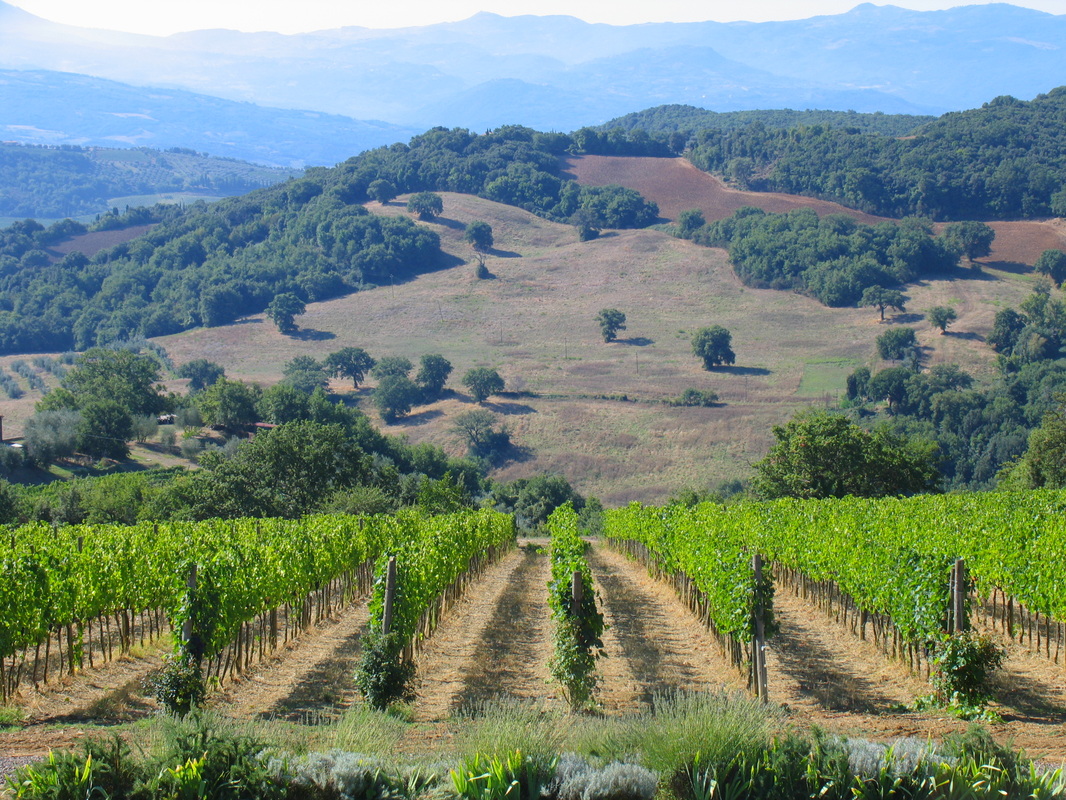
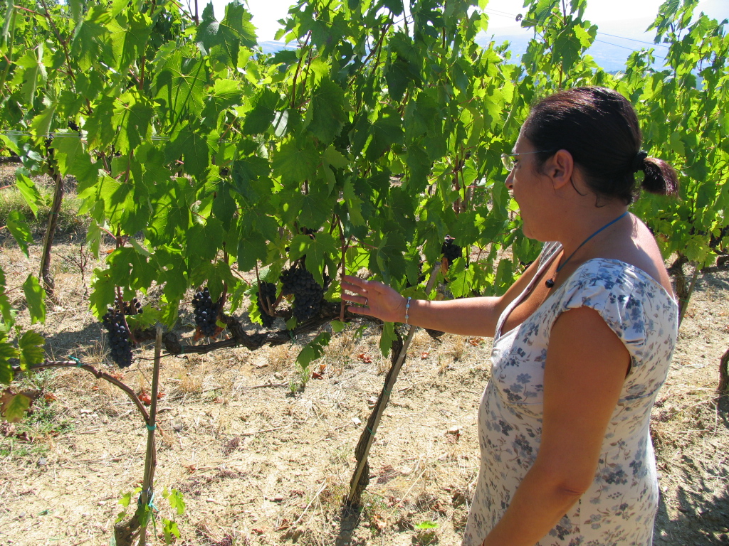
Consider this loose analogy to the wine world: 

As diplomatic ties between France and England disintegrated in the late 1600s French wine sales dropped in England and wines from Portugual greatly increased; this was incentive enough for many English businessmen to relocate to the Douro.  The sudden popularity in port in England attracted some fraudulent producers (or perhaps it brought into the spotlight a more common practice that happened behind closed doors?). Some winemakers added elderberry juice to the must to help increase alcohol and color extraction.  Some producers added spices to the wine as well. The news broke in England, sales of port wine decreased, and the English government reacted with strict regulations and goal set forth by the Douro Wine Company to rip out all elderberry plants in the region. 

Imagine the beer drinking world discovering that what they assumed was barley beer is actually made of mostly rice (analogous to elderberry juice in port).  Would the average beer drinker care?  Perhaps they would if it were industry standard to label the source grains on the label. 

Mash Additions
Mash additions are usually announced as a selling point ("pumpkin beer," "apricot beer," "hopped").  Additions are considered a special twist that makes the beer unique, and as such will make people want to buy and drink it.  I believe this is a good thing-- but it is odd that the base grain isn't advertised as energetically as the mash additions. 

3 Comments

A visit to Gianni Brunelli in Montalcino (Tuscany, Italy)

1/11/2012

1 Comment

 
Here are a few pictures from a visit last year to Gianni Brunelli in Montalcino. 
Picture
The vineyards are extremely well manicured. I love how the vines direct your gaze to the mountains, like a drawing done with technically perfect perspective lines.  Farming is organic.  The winery was founded by husband and wife team Gianni and Laura Brunelli; they made wine together for over twenty years until sadly, Gianni passed away a few years ago.  (read more here at avvinare) Laura continues.  Her personality is infectious-- she is full of calm energy, deeply spiritual, and she has a way of noticing beautiful things.  Once she pulled the car over to point out the way that the shadows of the clouds passed over the Montalcino hills.  In a way, this translates to the wines as well-- when she opened up a 2003 brunello she prefaced by saying "This is magic right now!"  And it was! 

Painter Richard Goodwin painted a portrait of Gianni's mother-- this portrait hangs in the restaurant (started & owned by the Brunellis) Osteria Le Logge and is the theme on all of the wine/grappa/olive oil labels except the IGT. 
Picture
Laura Brunelli examines her grapes and tests their phenolic ripeness before making the decision to harvest.  She has two main vineyard areas in Montalcino; one in Podernovone and one in Le Chiuse di Sotto. Each terroir is vinified separately through malolactic, using only natural yeasts. 
Picture
The Gianni Brunelli product line-up is classic and reflects the commitment to sustainability. Grape vines and olive trees have similar soil requirements and can both grow on rough terrain; as such they are often planted in tandem throughout Italy (and many other parts of the world). When olive oil and grappa are presented in a winery's product line it is a sign that the owners view the winery as a whole and strive toward sustainability. Olive trees and grape vines can grow in similar climates/topographies. Olive oil indicates a desire to make special use of land or careful microclimate adjustments that shelter vines from sharp winds. Grappa in a winery's product line indicates a desire to not waste: by fermenting and distilling the spent marc the grape vines provide one extra product before hitting the compost pile. 

Following the photo above, from left to right we have: 
Gianni Brunelli Grappa
made from 100% sangiovese 

Gianni Brunelli Olive Oil
About the olive oil, translated from the website in true Brunelli poetry: "the wine is indeed fun and noise, the oil poise and silence."  It's made from carefully selected organically grown olive trees, each olive is selected by hand, and the oil is extracted with a grinding stone. 

Gianni Brunelli IGT Blend 
This is the only wine that does not carry the signature picture of Gianni's mother on the label. Instead, the label is a poem about friendship, and hints at the blend of two varieties within: 80% sangiovese, 20% merlot.  

Gianni Brunelli Riserva
The next bottle in line has a blue label and the picture of Gianni's mother. 

Gianni Brunelli Brunello
The white label is Brunelo di Montalcino- this is a blend of two terroirs-- Podernovone and Le Chiuse di Sotto. 

Gianni Brunelli Rosso di Montalcino
The red label is for Rosso di Montalcino. 
Picture
In addition to running the Gianni Brunelli winery Laura is also a wildly successful restaurateur. Her place, Osteria Le Logge (pictured above)is just off the main plaza in Sienna, and it is BUSY, and the food is fantastic. And if you go, try their house special wine: Gianni Brunelli.

Gianni Brunelli Gianni Brunelli Gianni Brunelli Gianni Brunelli Gianni Brunelli Gianni Brunelli Gianni Brunelli
Montalcino Montalcino Montalcino Montalcino Montalcino Montalcino Montalcino Montalcino Montalcino
Gianni Brunelli Gianni Brunelli Gianni Brunelli Gianni Brunelli Gianni Brunelli Gianni Brunelli Gianni Brunelli
1 Comment

The Watering Hole: An Old Well on Ocracoke Island

1/3/2012

1 Comment

 
Picture
The Beach at Springer's Point
You can find this gorgeous beach at Springer's Point on Ocracoke Island, an island in the chain of land strips known as the Outer Banks that lie off the coast of North & South Carolina. 

Picture
The Outer Banks
If you examine the eastern most strips of land on the map above, you can see that the Outer Banks are, essentially, giant sand bars. They protect the mainland coast from storms and hurricanes and create a safe haven for ships that wish to rest in the Pamlico or Albemarle Sound. A century ago, these islands were key ports for trade. As plane transport became increasingly popular the islands' port functionality became decreasingly important, and ironically, plane popularity took hold in part because of important research gathered on the Outer Banks by the Wright brothers. A neighbor of Ocracoke--Portsmouth Island-- now a ghost island with no year-round souls and a place known more for mosquitoes than commerce, was once a bustling port with over 1,000 residents. Today, empty buildings stand-- ghost-like relics of the past. 

These islands served an important role in the American Civil War, WWI & WWII. During WWII a harbor on Ocracoke served as a safe place for ships. The mass of ships in this region drew attention from enemy forces, and Ocracoke residents recall seeing German U-Boats surface close to shore. British ship HMT Bedfordshire was sunk by a U-Boat off the coast and today there is a small British cemetery on Ocracoke to serve as a final resting place for the bodies that washed ashore. 

But even centuries before this Ocracoke Island had a legendary place on the maps of seafarers. Ocracoke Island had a well with water fit for drinking. This well, and Ocracoke's isolated location proved a haven for pirate sloops. 

On early maps of Ocracoke, the ancient well appears to be situated east and north of the current Silver Lake Harbor. Differences in early maps and current maps are plentiful, as the coastline of the Outer Banks is constantly changing. Parts of the banks submerge and remerge over time as the sand is pushed by storm surges and waves (Beacon Island is a perfect example-- today a small amount of land above the water serves as pelican nesting grounds, but this tiny island was once the site of a major government fort). In 1935 the Works Progress Administration built up the entire region with dunes and seeded the area with deep-rooted plants that help form dunes to prevent erosion. This act proved controversial-- some Ocracoke locals believe that by preventing erosion, the mobile aspects of the Outer Banks island chain was thwarted; and that building up dunes and preventing overwash destroyed the islands' natural resistance to large storms and hurricanes (Riggs et. al. 2009:55-56). Still, despite decades of dune building, nature prevails and the coastlines are in constant flux. For this reason, we must examine Outer Banks maps from previous centuries with a liberal eye. 

Examine the 1733 map below.  The map indicates "Thatche's Hole," aka "Teach's Hole," the area of water where pirate Edward "Blackbeard" Thatche/Teach was defeated and his ship sank.  Blackbeard is reputed to have buried his treasure on Ocracoke (still undiscovered as of today) and his career came to a fabled end just off Ocracoke's coast at Springer's Point when his ship, the Adventure and his crew were overtaken by Lieutenant Robert Maynard. The off-shore area today is known as "Teach's Hole," but on this earlier map it uses a different spelling of Blackbeard's name: Thatche. 

The map also indicates a well.  It is unknown whether the Hatterask Native Americans, pirates, or European colonists built the well. What is known is that Hatterask Native Americans visited Ocracoke to harvest yaupon, a local plant, for tea making, and that pirates-- such as Blackbeard-- rested on the shores. Might the missing Roanoke colonists also have made use of the well? It is likely that most visiting groups made use of the well water on their visits.  
Picture
1733 Map of Ocracoke indicated a well and Thatche's Hole.
If we take this 1733 map at face value (pictured above), at first glance the ancient well appears to have been located somewhere near the present-day intersection of Tom Neal Drive and Oyster Creek Road-- this is if you look at the map and assume that the "bump" or widest part of the island is the modern-day Village of Ocracoke.  This view is flawed because "Thatche's Hole" (today known as "Teach's Hole") is off the coast of modern day Springer's Point, which lies south of the Village of Ocracoke, not north as the 1733 map indicates. A different interpretation is that, after 1733, the coastal fluxuation and washover built up the island to the north of Springer's Point, creating the land for the Village of Ocracoke. If this is the case, the modern-day well at Springer's Point may be the same well indicated on the 1733 map. 
Picture
Well at Springer's Point
A bit of mystery surrounds this well. Locals suppose that the brick well was constructed in the 1800s, but maps and historic documents hint that perhaps the well is much older-- or this one was built in place of a much older well that was very close by. 

Shortly before his death, Blackbeard held a legendary meeting-- what is considered to be the largest pirate gathering in North America. Attendees included Israel Hands, Charles Vane, Robert Deal, and John Rackham. For several days the pirates drank rum, barbecued hogs and cows on the beach, partied and relaxed (Lee 1974:89). This incredible festival occurred at Springer's Point, and might this area have been chosen for its fresh water well? 

Is the well at Springer's Point the same well frequented by pirates in the 1700s?  Who built the well?  How long did the well exist before the bricks were (supposedly) laid  in the 1800s? Did the well have a heavy significance to the Hatterask Native Americans, and were they the group who built the well to begin with? Though no evidence currently suggests, if this well is much older may it have attracted the colonists who abandoned Roanoke? An archeological excavation of this incredible landmark may yield interesting clues. 

Today, this well is boarded up and featured on the Springer's Point nature walk. Centuries before, however, this well (or a nearby well no longer in existence) had a role in shaping the course of history. As an easy and secluded source of fresh water it became a secret meeting place for pirates and informed the nautical history of the fifteenth and sixteenth centuries. 
Bibliography

Howard, Philip (et. al) 2010. "Ocracoke Cisterns" Ocracoke Newsletter. 11 October 2010.  


Kelley, J.T (eds, et. al) 2009. "America's Most Vulnerable Coastal Communities." Geological Society of America Special Paper. 460-04, p. 43-72. 

Lee, Robert E. 2002:1974. Blackbeard the Pirate: A Reappraisal of His Life and Times. Winston-Salem, North Carolina: John F. Blair Publishing. 

Moseley, Edward. 1733. A New and Correct Map of the Province of North Carolina. 

Riggs, Stanley R. (et. al) 2009. "Eye of a human hurricane: Pea Island, Oregon Inlet, and Bodie Island, northern Outer Banks, North Carolina." in Kelley, J.T (et. al).

Ocracoke Island Ocracoke Island Ocracoke Island Ocracoke Island Ocracoke Island Ocracoke Island Ocracoke Island Ocracoke Island OCracoke Island Ocracoke Island Ocracoke Island Ocracoke Island Ocracoke Island Ocracoke Island Portsmouth Island Portsmouth Island Portsmouth Island Portsmouth Island Blackbeard Blackbeard Blackbeard Blackbeard Blackbeard pirate pirate pirate pirate pirate
1 Comment
    Picture
    _

    Erin

    I’m Erin, and this is my wine blog. Here, you'll find information about wines from around the world, and Virginia.  


    Top Posts

    Elizabeth Bird
    Sommelier History
    Stars & Terroir
    Dry German Wine
    1962 NYC Wine List

      Want to subscribe?

    Submit

    Archives

    March 2024
    February 2023
    December 2021
    May 2021
    June 2018
    October 2017
    September 2017
    August 2017
    July 2017
    June 2017
    April 2017
    March 2017
    February 2017
    November 2016
    October 2016
    August 2016
    July 2016
    June 2016
    January 2016
    February 2015
    January 2015
    December 2014
    November 2014
    October 2014
    September 2014
    August 2014
    July 2014
    June 2014
    May 2014
    April 2014
    March 2014
    February 2014
    January 2014
    December 2013
    November 2013
    October 2013
    September 2013
    August 2013
    July 2013
    June 2013
    May 2013
    April 2013
    March 2013
    February 2013
    January 2013
    December 2012
    November 2012
    October 2012
    September 2012
    August 2012
    July 2012
    June 2012
    May 2012
    April 2012
    March 2012
    February 2012
    January 2012
    December 2011

    RSS Feed

    Picture
Powered by Create your own unique website with customizable templates.